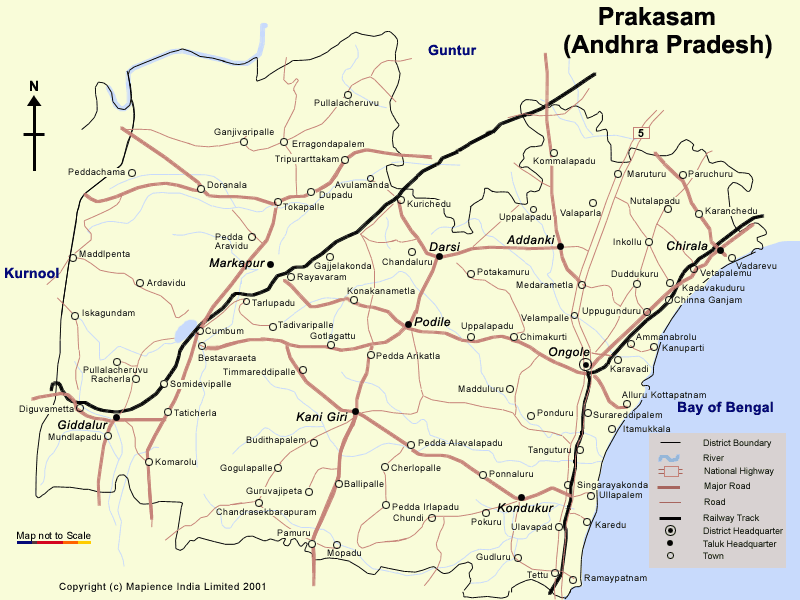
Prakasam District Map
Situated in
the south-eastern India, Prakasam is an administrative district in Andhra
Pradesh. The district headquarters are located at Ongole. It is one of the
nine coastal districts of Andhra Pradesh. According to the 2001 census, the
total area of Prakasam District is 17626sq.km. The population in Prakasam is
3054.94(in thousands), in accordance to the census done in 2001. The
Literacy Rate of Prakasam is 57.86%.
Previously known as Ongole, this district was renamed as Prakasam in order
to pay homage to the great patriot and Andhra Leader, Tanguturi Prakasam
Panthulu, also known as Andhra Kesari (Lion of Andhra) who was born in
Kanuparthi village of this district. Some of the main towns in Prakasam
district are Ongole, Markapuram, Chirala, Addanki, Kandukur, Parchur,
Giddaluru, Podili, Dornala, Cumbum, Kanigiri and Chimakurthi.
There is a parliamentary constituency, Ongole along with 13 assembly
constituencies in Prakasam district. This District consists of 13 Towns, 56
Mandalams and 42 Villages approximately
In Prakasam, economy largely depends on Agriculture. The major crops grown
here are Rice, Jowar, Turmeric, Maize, Arhar, Cotton, Sugar Cane, Sesame and
Chillies.
There are some important locations in this District. Markapur is India's
main slates manufacturing town and it is where the historic temple of god
Chennakesava is situated. Chimakurthi is famous for granite and Dornala is
known as diguva Srisailam, since it is very near the historic pilgrimage of
Srisailam.